
In a number of my posts over the years I have mentioned the term Cantref and thought that perhaps now was a good time to explain what this ancient method of land division was and how it functioned. I hope that you will find this of interest. I have also briefly covered what a Cwmwd is as well.
Cantref
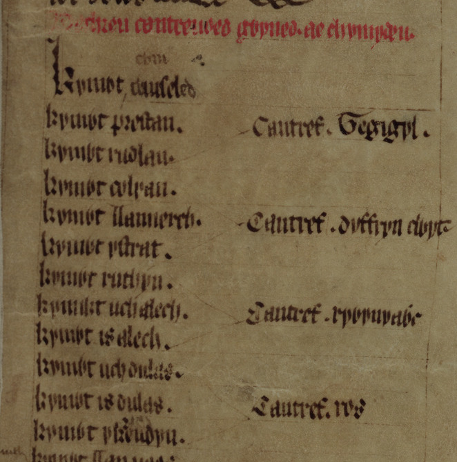
A cantref was a medieval Welsh land division, particularly important in the administration of Welsh law. The term “cantref” is derived from “cant” meaning “a hundred” and “tref” meaning “town” in modern Welsh, but formerly used for much smaller settlements. The cantref is thought to be the original administrative territorial unit, with cwmwdau being a later division. To help with the administration of a kingdom the land was organised into areas, with the basic unit of land being the tref (plural trefi), a village or settlement. The cantref was made up of a hundred trefi, hence the name. The cantref itself would be further divided and comprise of 2 or 3, sometimes more, cwmwdau. Because of the nature of the landscape and population cantrefi could vary considerably in size. The boundaries between cantrefi often coincided with areas of distinct Welsh dialects, or even kingdoms, and it has been proposed that this division has been in use for some considerable time. The legal function of cantrefi was later taken over by commotes as the administrative landscape of Wales changed.

Each cantref had its own court, which was an assembly of the uchelwyr, the main landowners of the cantref. This court would be presided over by the king if he happened to be present, or if he was not present, by his representative. The cantref court dealt with crimes, the determination of boundaries, and inheritance.
Cwmwd
A Cwmwd (commote) was a smaller division within the larger administrative district of the cantref. The word “cymydau” is the plural form of “cwmwd,” which was used to denote a commote, a medieval land division.
In addition to “cymydau” and “cantrefi,” other land divisions were used in ancient Wales. These included the Maenor which was a smaller territorial unit within a cwmwd, often associated with a manor or estate. The Tref we have already mentioned above and was a smaller settlement. Another territory was called a Maenol, a term used in some parts of Wales to describe a territorial unit similar to a maenor.

The size of a cwmwd varied across different regions of ancient Wales. The boundaries of the commotes and cantrefi were fixed political entities with quite various sizes. Which in turn had an impact on the size of the cantrefi.
The difference between cymydau and cantrefi lies in their hierarchical position within the administrative structure of medieval Wales. Cantrefi were the higher tier of local government, while cymydau made up the lower level. Perhaps we could use the current comparison of the county council administration units and the town councils today. Cantrefi were the original division, and the commote (cymydau) was a later subdivision
The Doomsday Book and Wales
The Domesday Book, commissioned by William the Conqueror in December 1085, provides valuable historical insights into the social and agrarian conditions of medieval England, but also covers areas of Wales that we beginning to come under Normal control. It contains records for 13,418 settlements in the English counties south of the rivers Ribble and Tees. In this case the term Commote was used instead of Cwmwd.
The customs of the commotes are described in the Domesday accounts of the border earldoms of Gloucestershire, Herefordshire, Shropshire, and Cheshire. The principal commotes described in Domesday were Archenfield, Ewias, and the commotes of Gwent in the south; Cynllaith, Edeirnion, and Iâl (Shropshire accounts); and Englefield, Rhos, and Rhufoniog (Cheshire accounts).
The Domesday Book, a detailed survey and valuation of landed property in England provides a unique insight into the land divisions and customs of the time. It includes entries for commotes that were under Norman control but still subject to Welsh law and custom. Interestingly, the book refers to these commotes using the Anglo-Norman word “commot” instead of “hundred,” which was the word used for the equivalent land division in England at the time. The commotes mentioned in the Domesday Book generally represented recent Anglo-Norman advances into Welsh territory and were assessed for military service and taxation. However, their obligations were rated in carucates, derived from the Latin for cattle or oxen, rather than in hides, as was the case on the English side of the border.
Changes over time
Over time, the cantref system underwent several changes. In the early medieval period, key areas of life such as agriculture, tribute-payment, legal processes, and hunting were structured by a longstanding seasonal patterning. This patterning is preserved in twelfth- and thirteenth-century Welsh law, church and well dedications, and fair dates.
As time progressed, the importance of the cantrefi and cymydau blurred, with some accounts suggesting that the cymydau/commote became more important overall. After the Norman conquest, the system of cantrefi and cymydau largely remained intact in both the Principality and the Marcher lordships, which had a great deal of autonomy as Wales was yet to be annexed into England.
However, significant changes occurred in the late medieval period. For instance, the cantref of Meirionnydd was effectively abolished in 1284 following the Statute of Rhuddlan, with the area being reorganised with the addition of some neighbouring cantrefi to form the county of Merioneth.
Following the acts of union of Wales with England in 1536 and 1543, the English term “hundred” began to replace “cantref”. Many of the names of cantrefi, cymydau, and hundreds were adopted to form the names of the later rural districts (1894-1974) and the “district municipalities” and “principal areas” created since 1974.
(1); Mapping the Historic Boundaries of Wales: Commotes and Cantrefs. https://rcahmw.gov.uk/mapping-the-historic-boundaries-of-wales-commotes-and-cantrefs/ (accessed 16 November 2023.

Leave a comment