
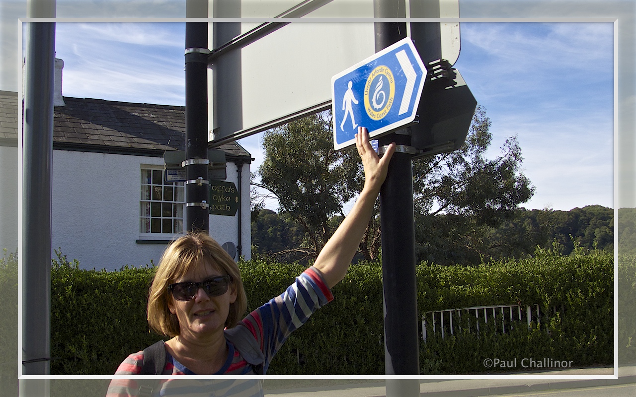
I suppose we can’t really be accused of being organised. Wales now has a single coastal path that goes all the way from Chepstow in the South East on the border with England, west, north and then east to Chester on the North East border with England. The total distance is 870 miles. If anyone is interested you can get more info from here http://www.walescoastpath.gov.uk/default.aspx.
Aunty and I have already walked along some of he the sections of the path, and hope to cover a lot more. However, we’ve not ‘done’ it in any geographical order. At the rate we are currently travelling it will take us around 145 days walking. We don’t walk too far, because we tend to walk about 4-6 miles along the path, and then retrace our steps back to the car. I did say we weren’t organised. It also takes a while to cover this short distance, because I need to make coffee, as well as ferret about in various interesting places to see what wildlife is around. All of which causes exasperated groans and sighs from Aunty!
If we calculate that we could find time to do this maybe twice a month, this gives us an average of 12 miles a month, or 144 miles a year. But I might be generous on how often we could manage to get out. That means I have to survive for another 6 years before we can finish the whole distance. In reality of course, it could take us a little less time than this, because Aunty doesn’t “want to do the boring bits!”. Which may allow us to cut out around 25%. We’ll have to see what we do in the end.
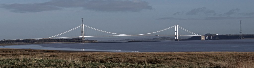
With all this in mind a few months ago we walked a short distance right from the start near Chepstow, under the old Severn Bridge Crossing towards Black Rock. It was very heavy going in places following all the rain, but we persevered none the less, but in the interests of an accurate blog, I feel obliged to record that this was accompanied by a few grumbles from both of us.

After a short time we reached what is now the small village of Mathern. The area around here has a long history, with evidence of occupation going back to the Neolithic. Mathern was originally known as Merthyr-Tewdrig (“burial-place of Tewdrig”), after the martyrdom of St. Tewdrig, king of Gwent and Glywysing. According to the Book of Llandaff, Tewdrig (or Tewdric) was wounded at Tintern around the year 630, after fighting the invading and pesky Saxons with his son Meurig ap Tewdrig. His wounds were washed at a spring, where he died. A church was erected on the site of his burial at Mathern, and he was later revered as a martyr and saint. In his memory, Meurig gave the surrounding land, extending for several miles, to the Bishops of Llandaff. During the 12th century, the shorter name Mateyrn, meaning “place of a king”, came into common use for the village; Meurig’s name is perpetuated in the neighbouring village of Pwllmeyric further in land.

Here I am measuring myself against a king, and I think I come up little short, even if he is a little wooden.

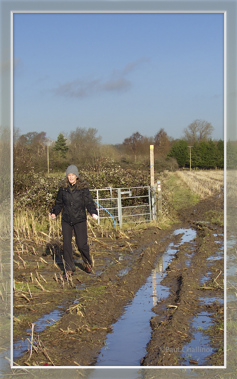
The going was a little muddy in places, which did make it heavy going. This did not impress Aunty very much, and my name was called into question a few times during this part of the walk.
We eventually reached the Severn Estuary and found St Pierre Pill. This was very much a surprise and is an anchorage for small boats. It is the base of the Chepstow and District Yacht Club. Getting here isn’t easy and there is no direct road access. See the boats in this isolated place was a bit surreal, especially when the tide is out. The first sight we got of the place was the view of mast seemingly rising directly out of the ground.
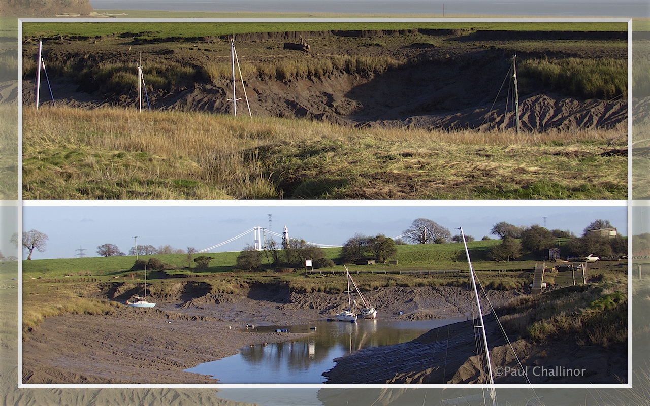
The harbour originally covered a much larger area, later silted up, and is believed to be the site of an important post-Roman harbour, associated with legends of St Tewdric. A ninth-century source which refers to the harbour as Porth-is-Coed – a name later used for the nearby village of Portskewett – also provides the first description of the tidal cycle in Britain.According to Fred Hando, as recently as 1860, the harbour was navigable by 70-ton barges as far upstream as the present golf club.

There is a small lighthouse known as Redcliffe Lights, on Red Cliff overlooking the harbour, which is operated by the Gloucester Harbour Trustees.

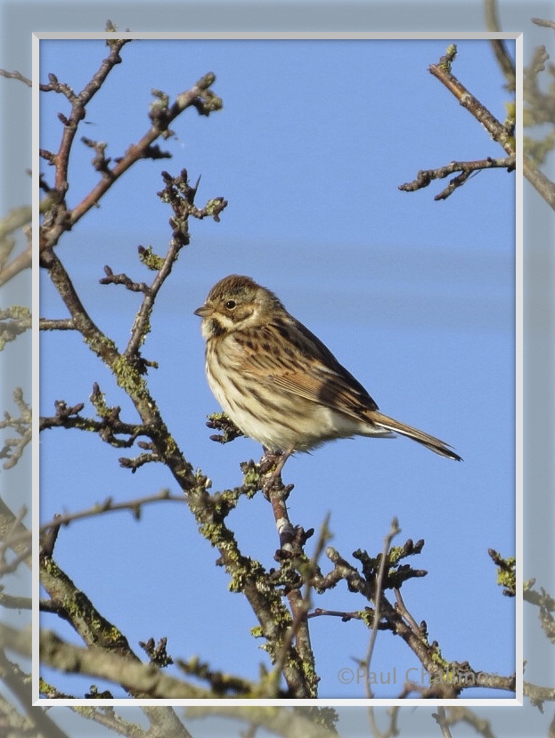
Of course it wouldn’t be a real posting without at least one photo of the local wildlife!
Hando. F. J., 1954, Monmouthshire Sketch Book, Newport, R. H. Johns, Chapter VI – Black Rock and Heston Brake.

Leave a comment