
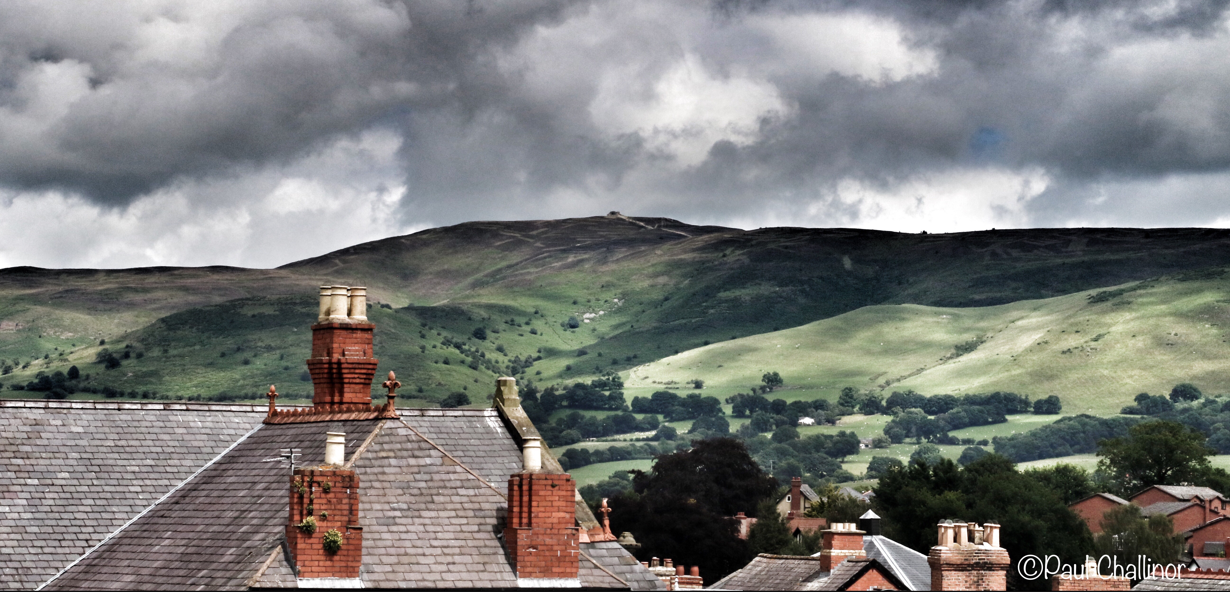
The calendar said that is was July, supposedly summer. But the view outside the window seemed to be suggesting the calendar was on the wrong page, or there was a misprint and it was November. OK it wasn’t raining (yet) hooray! But it was cold, not so good! The wind had been shaking the caravan during the night, definatly not so good! So what did we decide to do? Climb a hill of course! Armed with hot coffee we headed for the hills. Well one hill to be exact, Moel Fammau. Not a big hill, not a difficult climb, but the views from the top can be fantastic – on a good day that is. And this was not a very good day as it turned out, making it especially challenging to take any good photographs because of the very poor light.
After driving up a narrow single track road, and there are many of these in Wales, we arrived at the car park from where we would start the 2 mile walk to the summit.As we opened the car door we found out how windy it was going to be. The walk itself is easy, following a wide track. The route we followed is part of the Offas Dyke Path that Corkhead Paul and I finished (eventually) a couple of years back.

Moel is a common Welsh place-name element meaning ‘a bare hill’. The meaning and preferred spelling of the second element of the name are less certain. The meaning of the ‘Fama’ is somewhat uncertain, but it is possibly from a personal name, ‘Mama’. However, the current spelling ‘Moel Famau’ is a result of an ‘antiquarian perception’ in the eighteenth century that the second part was a form of the common noun mamau (‘mothers’). However, this could be confusing things and making the the early form difficult to explain. That said, the form ‘Moel Famau’ is common today and it is still sometimes said to mean ‘Mothers’ Hill’. 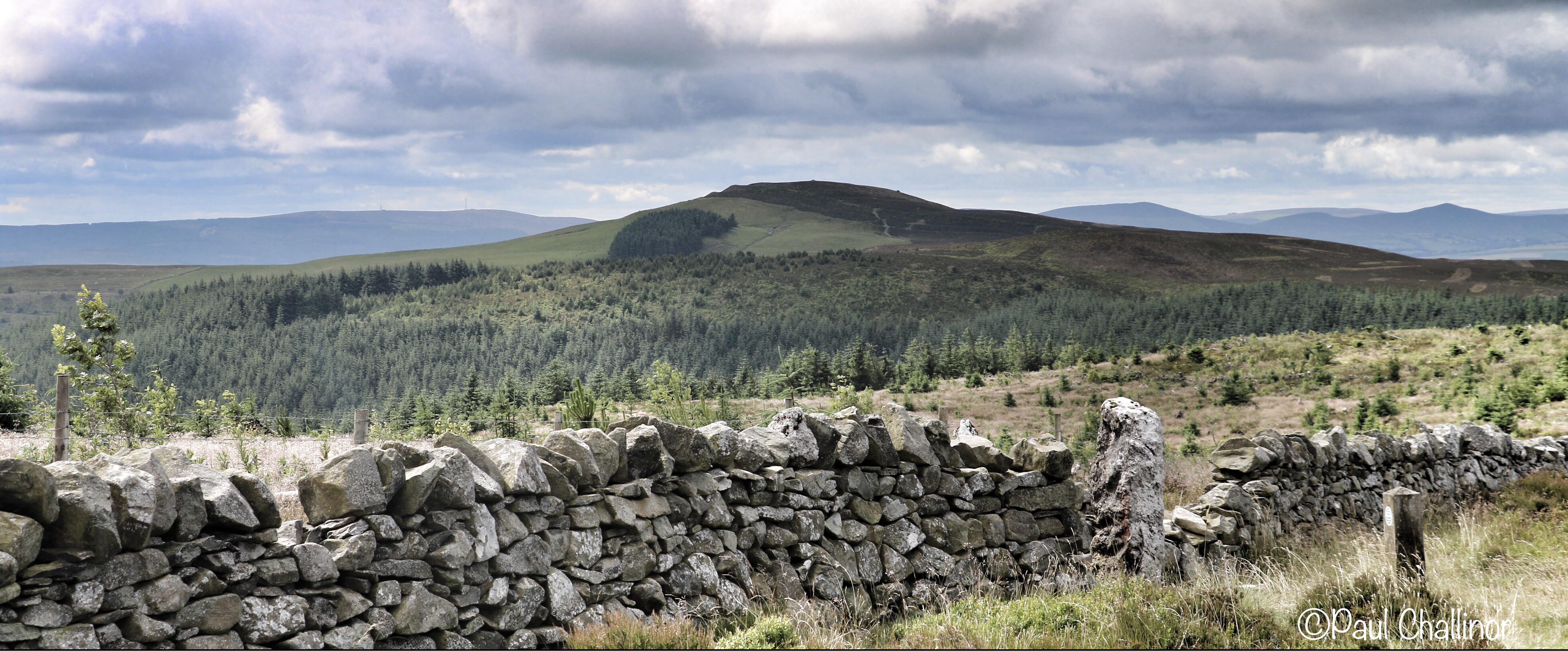
On the summit are the ruined remains of a vanity project built to commemorate the golden jubilee of George III in 1810. It was originally designed like an Egyptian obelisk with three tiers. However, though the foundation stone was laid in 1810 by George Kenyon, 2nd Baron Kenyon, money ran out and the tower was never completed. Then adding insult to injury in 1862, a major storm brought down the incomplete tower. The remaining upper part of the structure was demolished for safety reasons leaving just the base. Most of the rubble was removed from the site; smaller stonework was reused by local farmers for dry stone walls. Recycling is not a new concept.
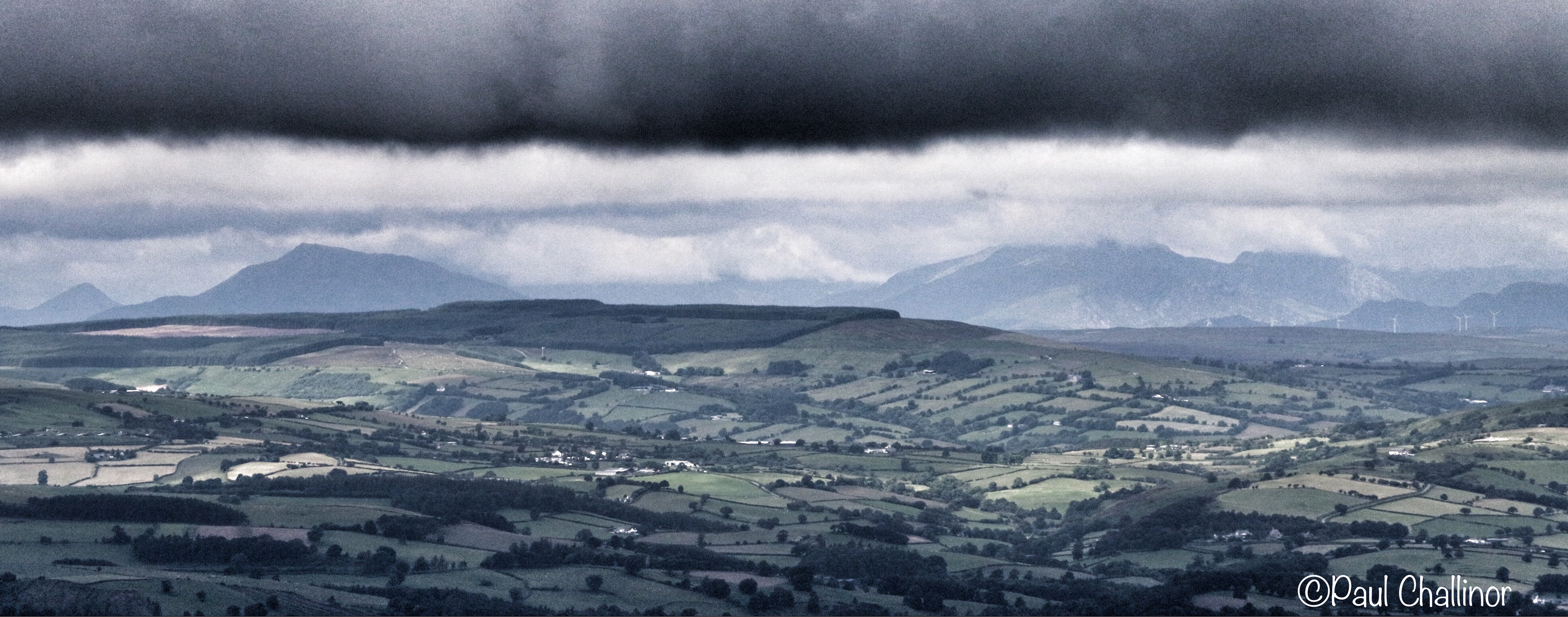
The views from the top are good, and there were occasions when the clouds cleared briefly. Looking west you can see Cader Idris, Snowdon and the Carneddau Range. East looks down onto England and the wide, flat expanse of the Cheshire Plain.
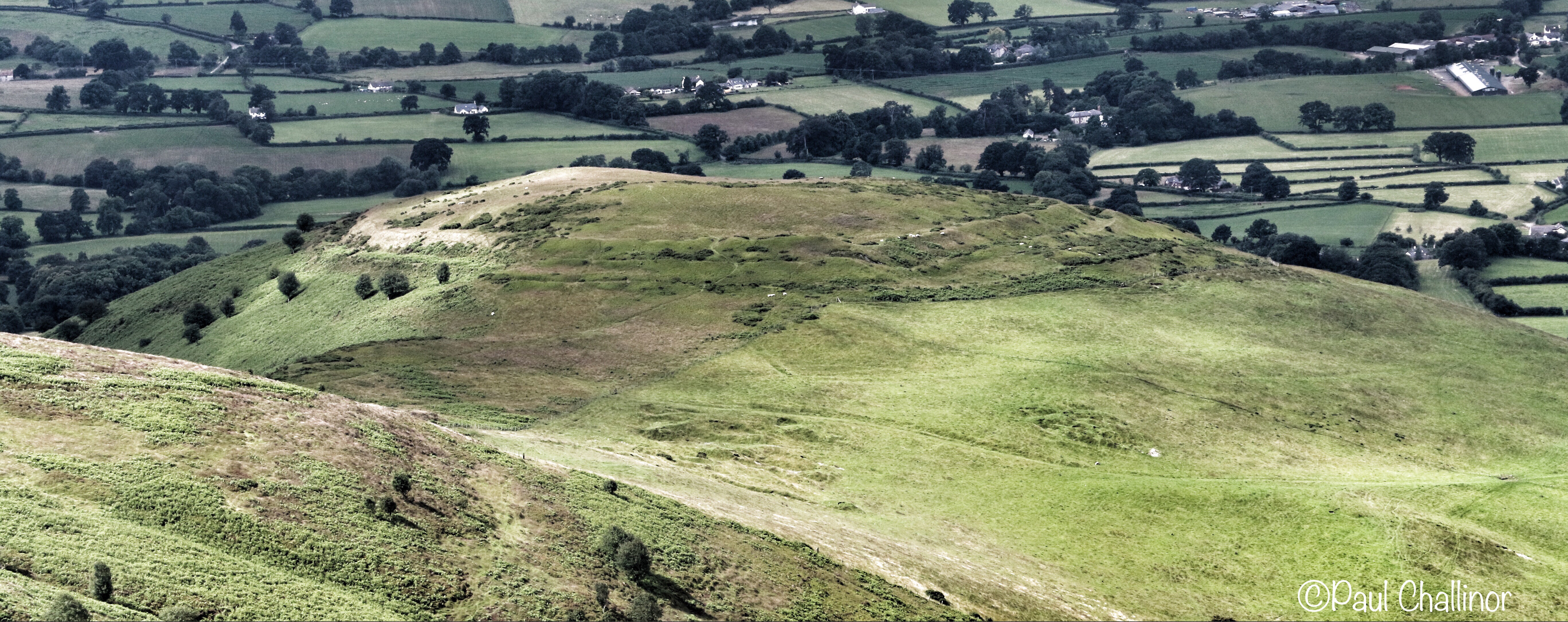
This area is rich in ancient archeology. Just above where we started our walk was the Iron Age fort on the top of Foel Fenlli, and then just below Moel Famau is another one, Moel y Gaer. These Iron Age forts remain enigmatic, and their function is not fully understood. It is possible that they may have had a defensive function in some cases, but in others it is difficult to understand. In some areas they are very close together, as here. The two forts are only 2 miles apart and there are others nearby. Defensive maybe, but almost certainly there was a social focus to their position in the landscape.
- Isle of Man
- Liverpool
- Cumbria
- Blackpool Tower
- The West Wirral coast
- Hilbre Island in the River Dee
- Irish Sea windfarms including the Burbo offshore windfarm.
Did we see any of these? No! Maybe next time.

Leave a comment